BDT GeoCatalogue
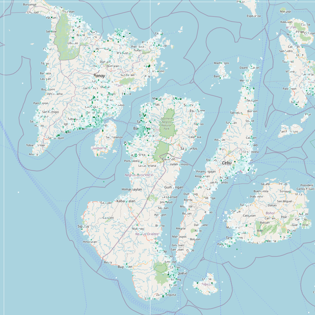
Disaster Connectivity Map (DCM)
Disaster Connectivity Map (DCM) Connectivity is a map layer of performance, that compiles quality of service (Qos) measurements received via third party providers from software probes installed on end-user devices.
The measurements received from SpeedChecker are ping (Ms), download speed (Mbps) and upload speed (Mbps), which are processed into point grid cells of 100-km, 10-km, 1-km, and 100-m which are displayed at different zoom levels depending on scale that the map is zoomed to. The default style (‘point_download’) displays download speed from the ‘download’ attribute field, but changing the style to the ‘ping’ (‘point_ping’) or ‘upload’ (‘point_upload’) fields will display these indicators.
DCM Connectivity is a rolling worldwide baseline map layer of measurement data, in which all data received is added cumulatively and the median average for each measurement is recalculated each time it is updated. When the DCM is in active mode, the DCM Connectivity map layer is updated hourly. This map layer does not have a time dimension or time field, so cannot be filtered by time.
Simple
Identification info
- Date (Revision)
- 2022-08-17
- Status
- On going
- Theme
-
-
WMS
-
- Service Type
- OGC:WMS
- Service Version
-
1.3.0
- Coupling Type
- Tight
- OnLine resource
-
dcm_prod:dcm_mix_1hr_allscales
(
OGC:WMS
)
QoS data per hour
- Hierarchy level
- Service
- File identifier
- 227adef7-e5e9-4c4d-8c36-bcb47de75c5b XML
- Metadata language
- English
- Character set
- UTF8
- Hierarchy level
- Service
- Date stamp
- 2024-03-25T15:16:09
- Metadata standard name
-
ISO 19115:2003/19139
- Metadata standard version
-
1.0
Overviews
Spatial extent
Provided by